Preservation and restoration of Tel Arad National Park

A week-end outing to an ancient waterworks site


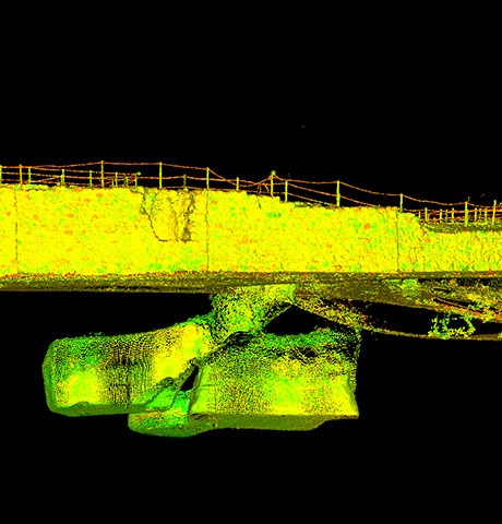
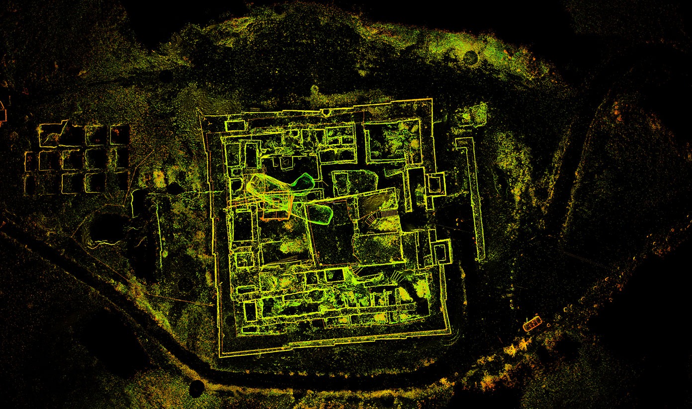
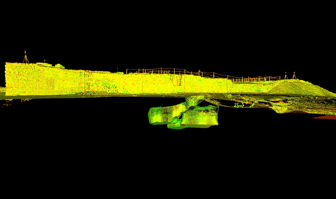
The site at Tel Arad National Park, which was excavated in the 1960s, includes the largest city ever exposed in the Negev, dating from the Bronze Age, as well as a later settlement that boasts an impressive citadel, dating from the time of the First Temple. We had the honor of partaking in the restoration works executed on the site, which were completed several years ago and enable visitors to descend into the ancient waterworks.

Products : 2D architectural drawing, sections, 3D mesh model
Solutions
Technologies
סריקת לייזר תלת מימדית
3D Mesh model. The undergorund water reservoirs are seen clearly
View from above. "Point Cloud"
Tel Arad "Point Cloud"
3D laser scan

In 2014, the Israel Nature and Parks Authority executed preservation and restoration works in the Fortresses Mound at the Tel Arad National Park.

Within the archeological city compound, parts of city walls, structure walls, structures and room complexes can be seen, as well as subterranean passageways and rooms that are part of the waterworks (the only one in the Negev at that time).

Works were executed on the site, which spans about 90mx90m, to provide accessibility and permit the entrance of visitors to the impressive waterworks located beneath the temple.

The architectural firm Schaffer Architects designed multiple staircases and walkways both above and below ground that descend into the water reservoirs.

We were requested to document and map the existing state so as to assist in the design of the staircases and walkways. To that end, we performed high-resolution scans of the entire compound, both above and below ground. 2D architectural drawings and sections at selected points were generated from the scan data. We also provided the developer and the architects with a 3D model of the entire compound which we produced on a mesh network based on the point cloud.

arrow
Back to top

Accessibility Toolbar