three-dimensional mapping.
Industrial Factories Mapping
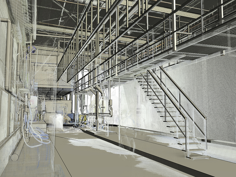
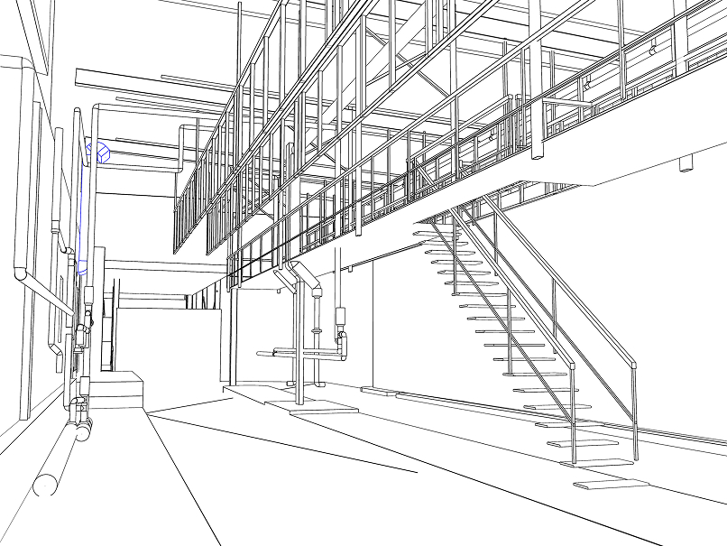
Three-dimensional laser scanning generates a 'point cloud' that serves as an accurate replica of the factory's systems and infrastructure. The cloud is processed into engineering products such as a three-dimensional model, sections, and work plans. The process enables efficient planning of changes and upgrades to existing systems.
The need for three-dimensional mapping of factories.
The mapping process begins with a comprehensive laser scan that creates a three-dimensional point cloud of all the factory's systems. Using advanced software, relying on many years of experience and engineering expertise, our team processes the 'point cloud' into useful products as needed: a complete three-dimensional BIM model, a set of engineering panoramic images, sections in any required plane, accurate two-dimensional plans, and detailed reports.
The solution of three-dimensional mapping of factories.
The engineering products enable precise planning for the installation of new systems, upgrading existing infrastructures, and optimizing space. The accurate model prevents collisions between systems, allows for optimal access route planning, and saves valuable time during the execution phase. The combination of advanced technology and the professional experience of our team ensures accurate and reliable results, allowing you to make informed decisions in the planning and execution of complex projects. All measurements performed by our team can be defined as DTR - Digital Twin Ready.
Would you like one too?
We are prepared to perform a survey of any size. Don't be left behind, advance now to 3D mapping.
Related projects
List of projects related to this service


